DrivingDirections
Mapleton PA Area
Station 2 Coverage Maps
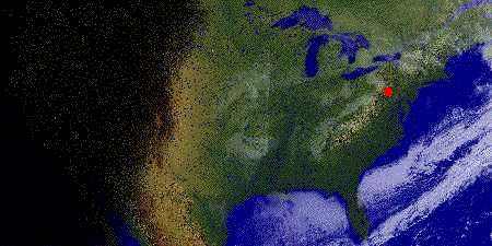
Low Rez Topo
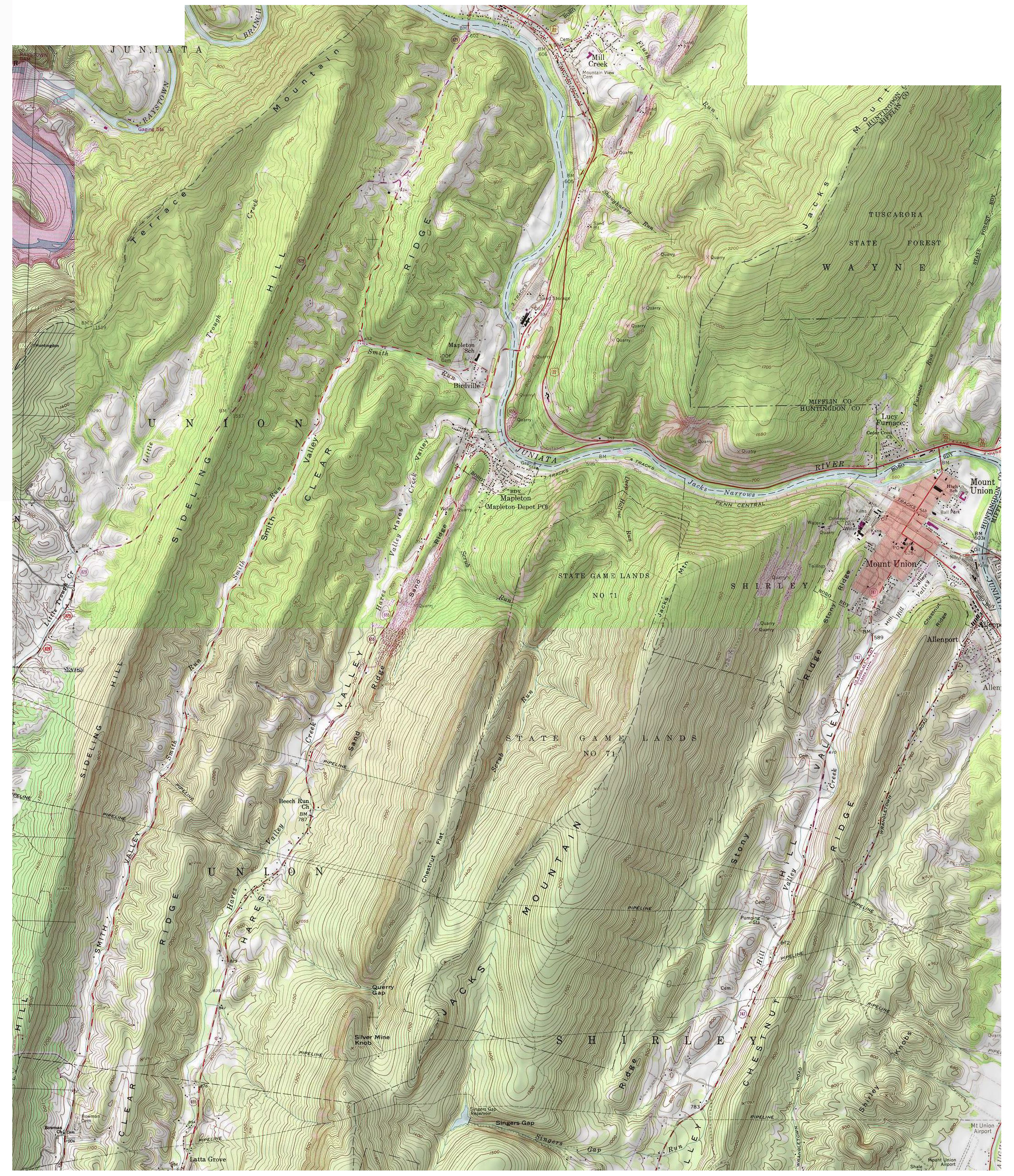
High Rez Topo
Google Map View